Skip to content Skip to footer
Professional Aerial Documentation for Informed Decisions
Visual documentation supporting planning, assessment, and recordkeeping across multiple industries.
Discuss Your Project Type
Visual Intelligence That Supports Better Decisions
AGL delivers clear, consistent aerial documentation that helps organizations understand sites, conditions, and progress at a glance.
Discuss Your Project Type
Reliable Aerial Documentation You Can Trust
Professionally captured aerial visuals that provide accurate context for records, reporting, and informed decision-making.
Discuss Your Project Type
About AGL

Aerial insights with safety and professionalism

AGL Drone Imagery LLC is led by Dominick Schilleci, Founder & Lead Aerial Data Collection Specialist. A retired U.S. Coast Guard Senior Chief with more than 4,500 flight hours, Dominick brings a career rooted in aviation safety, mission planning, and operational accountability.

That experience shapes AGL’s work across northeastern North Carolina, delivering precise aerial imagery and data for property owners, contractors, agricultural operations, insurers, and public safety partners. Every mission is conducted with a safety-first culture, professional judgment, and a focus on reliable, repeatable results that save time, reduce risk, and support informed decision-making.

Projects

Choose Your Project Type

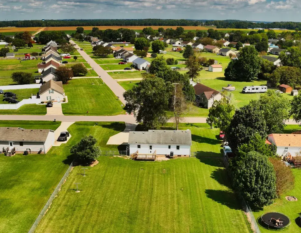
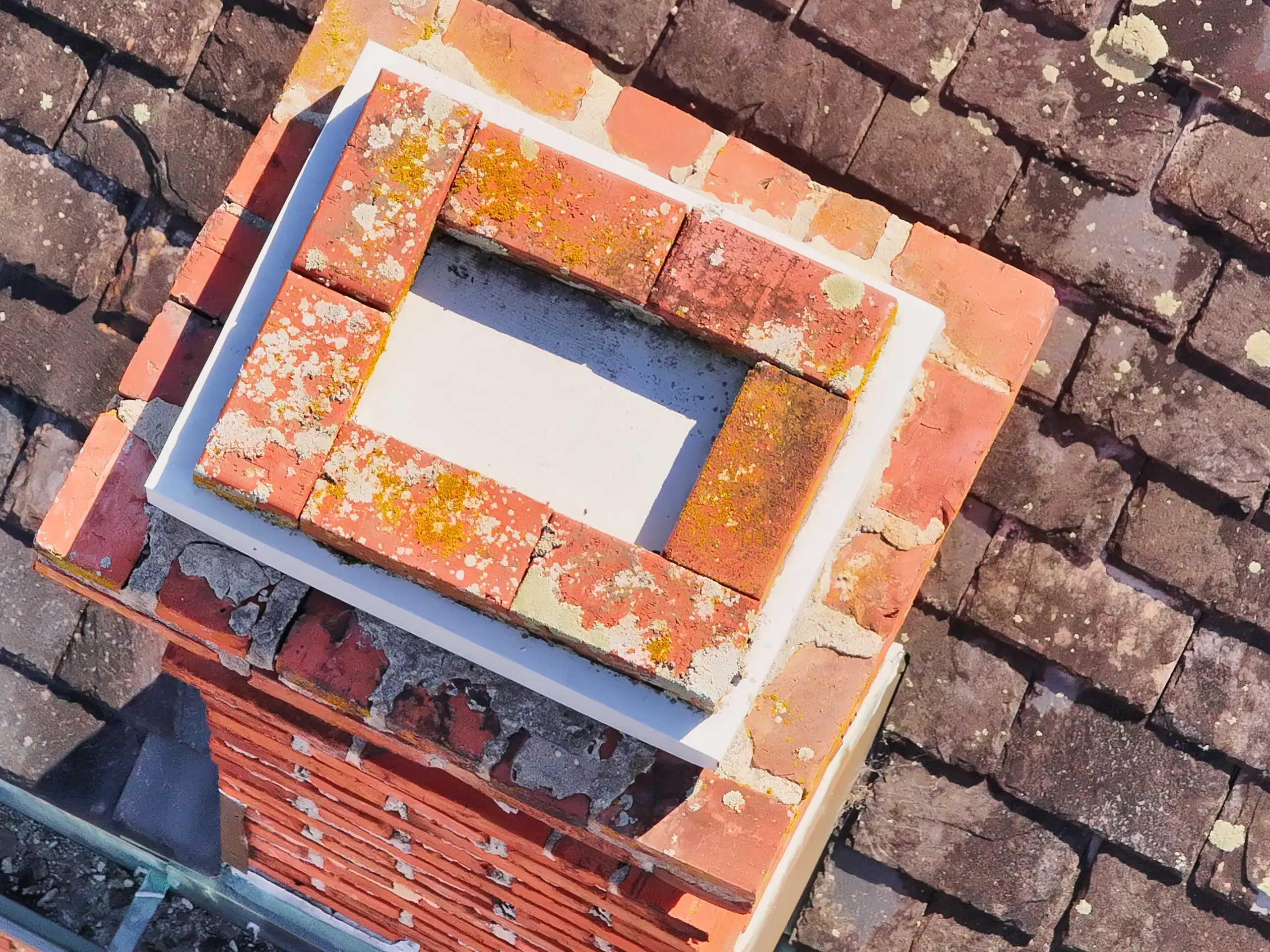
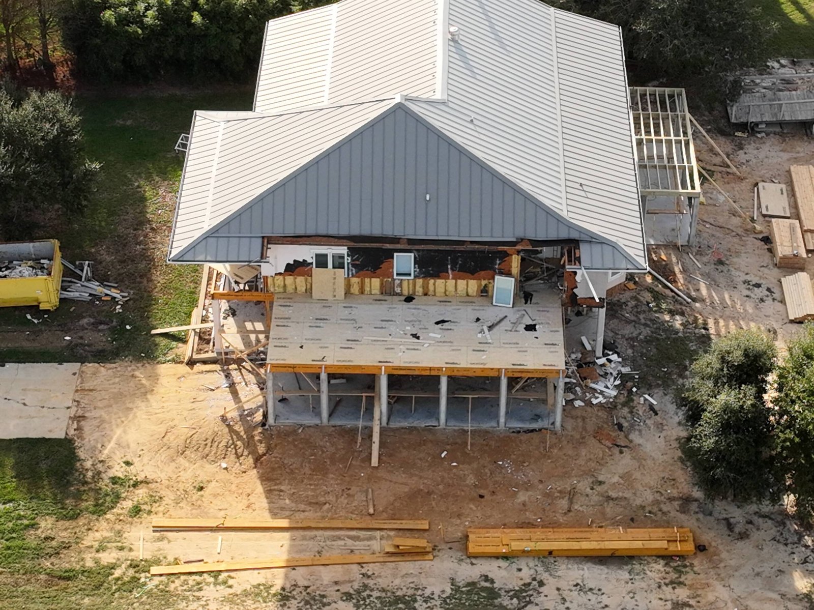
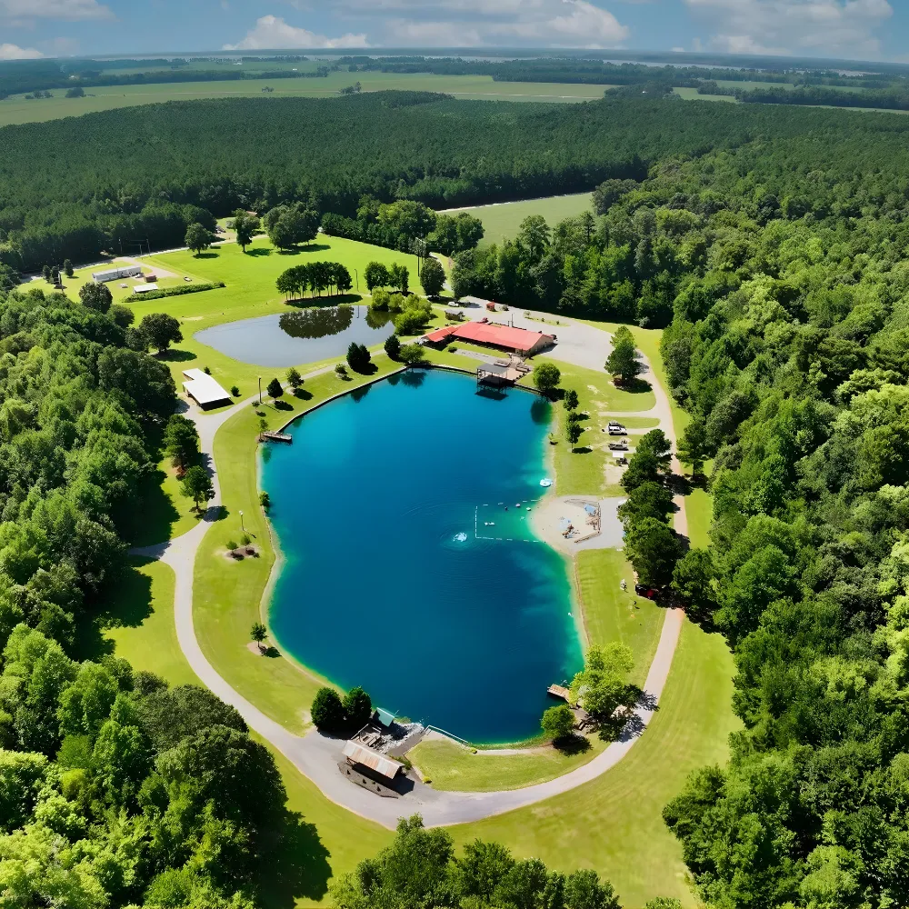
AGL Drone Imagery LLC provides professional aerial imaging and visual documentation services for industries that require clear, consistent, and safe visual records. Our services are designed to support documentation, communication, and visual reference needs without replacing licensed professionals or certified measurements.

Real Estate & Property Marketing

Elevated aerial visuals that highlight property layout, surroundings, and scale beyond ground-level photography.

Roofing & Exterior Documentation

Aerial documentation capturing roof and exterior conditions while reducing risk and eliminating the use of ladders or lifts.

Construction & Project Documentation

Repeatable aerial documentation capturing construction progress, site staging, and evolving site conditions over time.

Insurance & Claims Support

Rapid before and after aerial documentation capturing time-sensitive site and structure conditions for insurance and damage-related records.

Agriculture & Land Management

Aerial documentation that reveals crop and surface drainage patterns, and land features across agricultural and managed properties.

Commercial & Industrial Facilities

Consistent aerial documentation supporting large facilities, exterior assets, access points, and ongoing site awareness.

Public Safety & Emergency Support

Aerial Situational Awareness and real-time visual support for search and rescue, emergency response, and incident operations.

Historic & Cultural Preservation

Carefully captured aerial documentation supporting historic preservation, condition awareness, and long-term site planning.

Deliverables

What We Offer

See how our aerial documentation helps reduce time, cost, and on-site risk.

Aerial Photography & Video

Professional aerial photography and video capturing sharp detail, scale, and visual clarity across properties, sites, and environments.

2D Orthomosaic Image

A seamless overhead aerial image built from multiple photographs to provide consistent, high-resolution visual context across an entire site.

3D Site Visualizations

An interactive three-dimensional visual built from multi-angle aerial imagery, allowing viewers to explore site layout, terrain, and how features relate across the property.

3D Structural Digital Models

A highly detailed, interactive 3D visual model of a structure created from oblique aerial imagery, enabling exterior features to be viewed, rotated, and examined from multiple angles without ladders, lifts, scaffolding, or physical access.
Icon

Roofing & Exterior Visual Documentation

Aerial visual documentation of roofs and exterior features that reduces on-site risk by capturing detailed visuals for condition review, planning discussions, and records; without ladders, lifts, or direct access.
Icon

Elevation & Contour Visualizations

Terrain-focused visualizations illustrating elevation change, slope, and surface patterns to help understand land behavior and site conditions.
Community Documentation

Community-Based Documentation

AGL Drone Imagery supports community organizations, nonprofit groups, and public safety partners by providing aerial documentation, situational awareness, and visual support services when requested. This includes no-cost support for nonprofit events, community activities, and hands-on operational support for public safety training and incident response.

The imagery shown reflects real-world operations, including preparedness exercises, search and rescue training, night operations, coordinated response activities, and select community events. In each scenario, aerial platforms are used to enhance visibility, improve safety, and support informed decision-making in dynamic environments.

Community and training documentation plays a critical role in operational readiness and risk management, helping responders and organizers assess conditions, improve coordination, and operate more effectively before, during, and after an event or activation. All imagery represents authentic training, community, and public safety support activities conducted for documentation, planning, and safety purposes.


VISUAL PROOF

High-quality examples across industries

Start the Conversation

Fill out the short form or contact us directly.

Whether you’re planning a project, need documentation, or require time-sensitive support, this is simply a conversation to understand how AGL can help.

Call or Text: 252-621-3006


    LEGAL SUMMARY

    Clear scope for every project

    All services provided by AGL Drone Imagery LLC are limited to aerial photography, video, and visual documentation for reference, communication, and recordkeeping purposes only.

    AGL does not provide boundary determinations, certified measurements, land surveying, engineering, architectural, appraisal, inspection, or claims-adjustment services.

    All imagery and visual deliverables are non-certified and intended for general reference and documentation only. Licensed professionals should be consulted where regulated services are required.

    FACTS & FREQUENTLY ASKED QUESTIONS (FAQ)

    AGL Drone Imagery provides professional aerial photography, video, mapping, and 3D documentation designed to turn aerial imagery into clear, decision-ready information. Depending on your project, we deliver edited photos, edited videos, scaled site visuals, 3D models, elevation visuals, and documentation packages that help you plan, verify conditions, and communicate clearly.

    Most operators deliver good-looking footage. AGL focuses on repeatable, precise capture and professional processing workflows that improve consistency and usefulness, especially for construction, agriculture, and post-storm documentation.

    AGL Drone Imagery proudly serves Camden, Elizabeth City, Pasquotank, Currituck, South Mills, Gates County, Moyock, the Outer Banks, and surrounding northeastern North Carolina. Travel beyond the included service area is available as outlined in the Pricing Guide.

    Pricing is shown as a range because every site is different. Final pricing is based on property size, obstacles, flight complexity, time on site, and FAA airspace authorization requirements.

    You choose the format based on how you plan to use it. Horizontal video is best for websites, YouTube, and standard Facebook posts. Vertical video is best for Instagram Reels, TikTok, and Facebook Reels.

    Deliverables depend on the selected package and project goals and may include edited photos, edited video clips, cinematic videos, or advanced mapping deliverables. Raw photo and video files are available as optional add-ons.

    Typical delivery timelines begin after the flight is completed. Photos and video clips are usually delivered within 5–7 business days. Cinematic videos typically take about 7 business days. Premium packages may take 7–10 business days.

    Some locations require FAA airspace authorization before flight. Approvals can take up to three weeks, though many are completed within 5–10 business days. Flights are also weather-dependent.

    Yes. All operations are conducted under FAA rules. AGL Drone Imagery provides aerial imagery and visual documentation services only.

    No. AGL Drone Imagery does not provide boundary determinations, legal property descriptions, certified measurements, engineering, or architectural services. Licensed professionals should be consulted where required.

    Call or text (252) 621-3006 or email info@AGLDroneImagery.com. We will discuss your goals, confirm scheduling and airspace requirements, and recommend the best deliverables for your project.